Ray, Mississippi
|
Choctaw County Population: Town incorporated: no Post office: none |
Next Town North- Reform
Milepost in 1905 Milepost on valuation map (from Mobile)
Next Town South- Williams |
||
|
1920 soil survey map |
1972 USGS topo map |
||
|
HISTORY by Tony Howe:
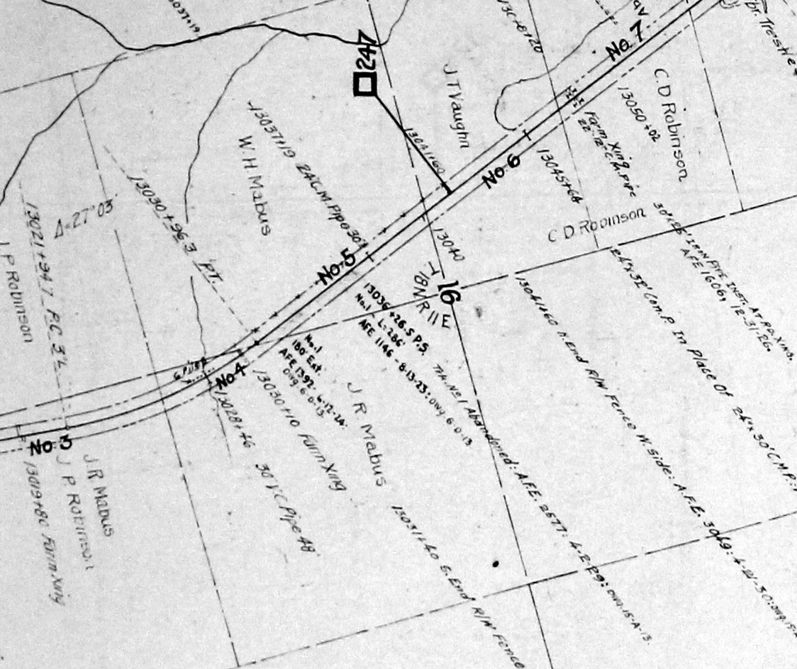
Ray was located about a mile south of Reform and was the site of a short spur built in August 1923 and removed in April 1929. There never was a town at this location. The railroad was completed in 1905 through Pontotoc, Houston, Ackerman and Louisville by the Gulf & Chicago Railroad, which was controlled by the Mobile Jackson & Kansas City RR until the two railroads merged on December 1, 1909 to form the New Orleans Mobile & Chicago Railroad. This railroad was reorganized on January 1, 1917 to become the Gulf Mobile & Northern Railroad. This railroad, in turn, merged with the Mobile & Ohio on September 13, 1940 to form the Gulf Mobile & Ohio Railroad. This railroad operated until it was merged with the Illinois Central Railroad on August 10, 1972 to form Illinois Central Gulf RR. ICG received permission to abandon the railroad from Woodland to Ackerman on December 14, 1981, and was officially abandoned on March 1, 1982. INDUSTRY (per Dun & Bradstreet)- |
|||

1917 Valuation Map click map for larger version David Bridges Collection |
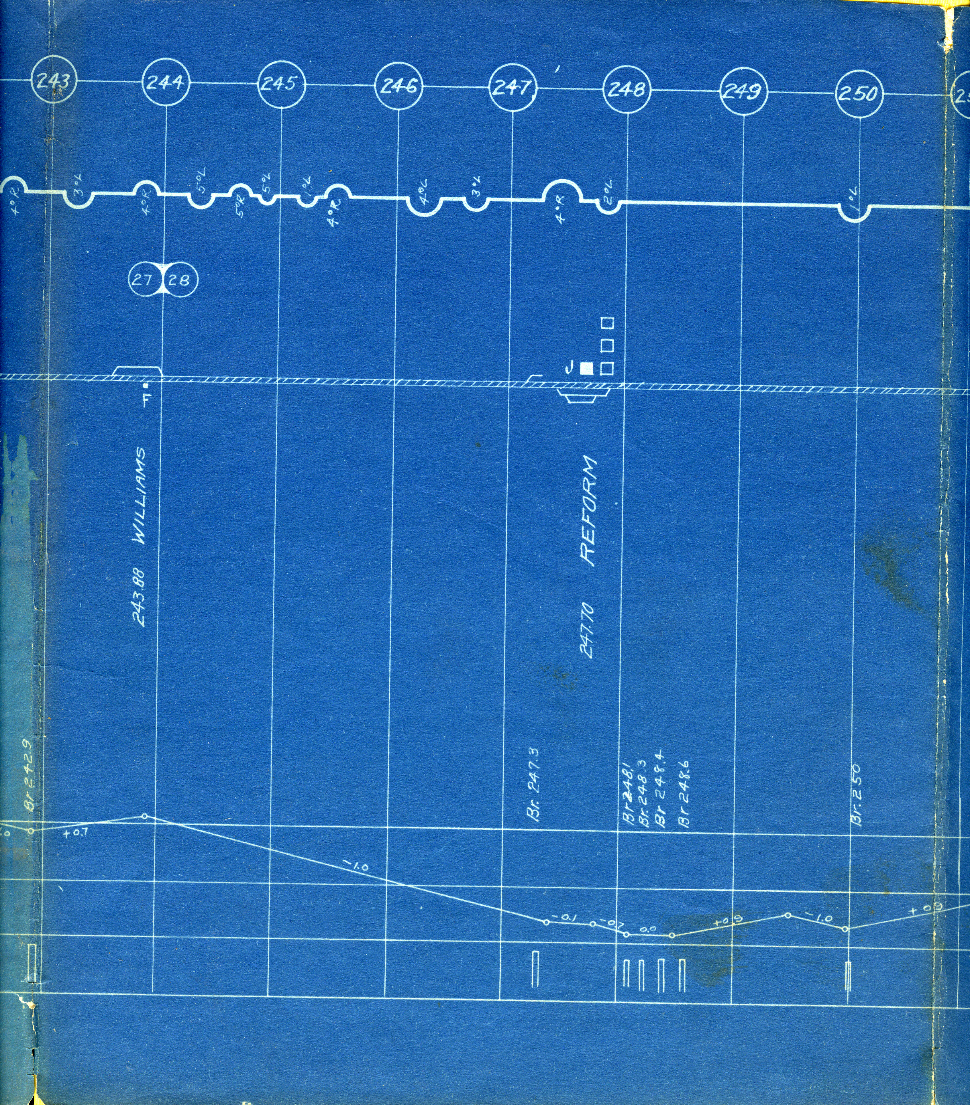
1917 GM&N Track Chart & Profile
|
||
|
|
|
|
|
|
BUSINESSES (per R.G. Dun & Co.)-
|
|
|
|
| If you have any corrections or
additional info, we would love to hear from you! We are always looking for
additional photos, too. Find our contact info below.
|
|||
For more information contact Tony Howe at tonyhowe76@yahoo.com or David S. Price at dsprice46@bellsouth.net
